
The stories behind Syria’s landmarks
Apamea in Syria: Walking the Great Street of Columns
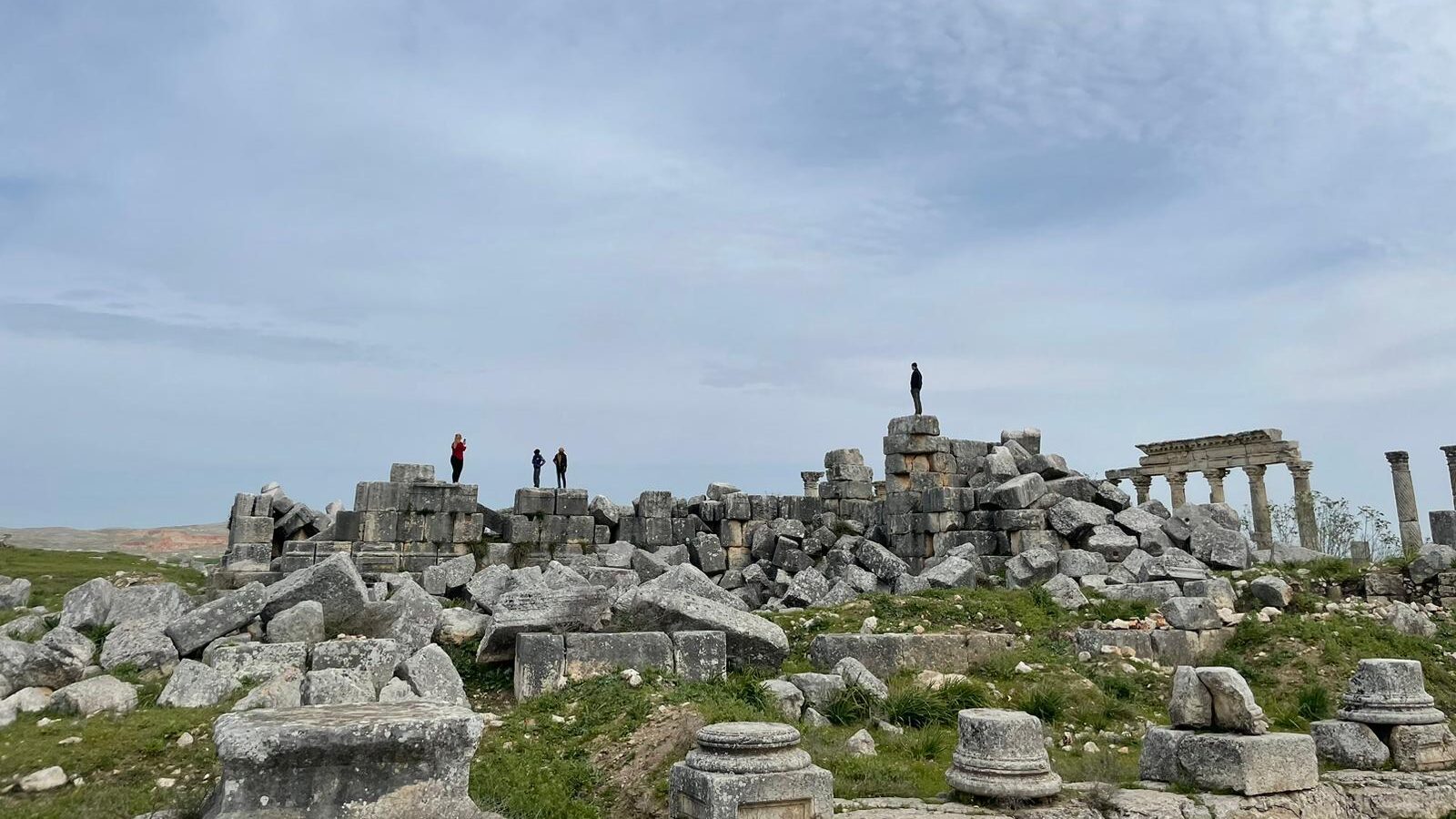
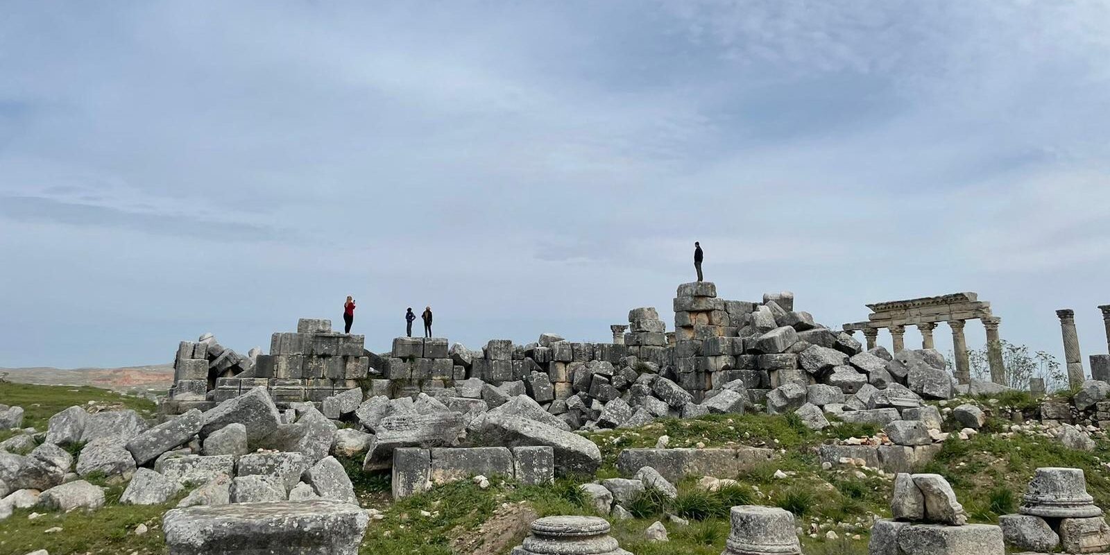
Some archaeological sites ask you to imagine their streets. At Apamea, you can still walk through the outline of one of the most spectacular avenues of the ancient world.
Northwest of Hama, on the edge of the Orontes Valley, an astonishing line of columns rises above the surrounding plain. The remains belong to Apamea, a city that was once full of merchants, bathhouses, churches, homes and everyday life.
What makes Apamea so memorable is the contrast between silence today and the busy avenue that once ran through its centre. These columns were not decorative scenery. They stood over an active street where people worked, met and passed through a prosperous provincial city.
Although Apamea is celebrated for its Roman remains, the site’s story is much older. The city connects Greek-speaking kings, Roman engineering, Byzantine churches and the fragile work of preserving archaeology in the present.
← Explore all Syria landmarksApamea at a Glance
The City Named for a Queen
The site has a long settlement history, but its best-known ancient foundation dates to 300/299 BCE, when Seleucus I Nicator established or refounded a city here and named it after his wife, Apama.
Under the Seleucids, Apamea was an important centre linked to the fertile countryside and to routes across northern Syria. It grew further under Roman administration, when public buildings and civic infrastructure transformed urban life.
An earthquake in the second century CE damaged the region and prompted reconstruction. The surviving street and associated buildings reflect the city’s development during Roman and later periods rather than a single moment in its early history.
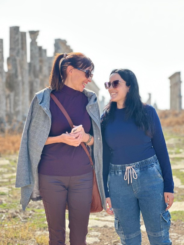
Seeing the avenue with a local guide changes how you look at it. A stretch of standing columns begins to feel like the front of a busy neighbourhood rather than a remote archaeological ruin.
Picture the shade beneath the porticoes, a family walking across the paving and the sounds of people doing business near the market. The ancient street was part of everyday life.
Not everything standing today is in its original position. Excavation, repair and conservation have helped reveal the city, while other areas have never been fully explored.
A Street Almost Two Kilometres Long
Apamea’s famous cardo maximus, its principal north–south street, extended for nearly two kilometres. Rows of columns lined the route, creating an impressive public space across the city.
Look at the individual columns. Some have twisting flutes that catch light and shadow differently; others show plainer designs. These details reward a slow walk far more than a hurried photograph.
The street connected civic and commercial activity with the wider city. Archaeologists have also identified remains of baths, public spaces, water systems and religious structures.
The remains of old shops and buildings are sometimes less dramatic than the columned avenue, but they help visitors remember that the monumental street served a real population.
Apamea continued as an important settlement through Late Antiquity and the Byzantine period. As centuries passed, repeated earthquakes, warfare and shifting political centres transformed the city.
The beautifully worked shafts are especially memorable in low, directional light. Follow the changing patterns along the avenue rather than focusing only on the grand panorama.
What the Ruins Still Teach Us
Modern archaeologists have studied Apamea’s water supply and other systems that supported the city. It is easy to admire the huge columns while missing the practical engineering that made urban life possible.
The site also experienced severe damage and illegal excavations during Syria’s recent conflict. Some disturbed areas are visible in the archaeological landscape today.
That loss matters because archaeology is not only about what has been excavated. It is about information surviving in its original context, where relationships between objects and buildings can still be understood.
Visiting respectfully means staying on recognised paths, never removing stones or pottery and appreciating the conservation work needed to protect the site for the future.
How to Visit Apamea
Apamea lies roughly 50–60 kilometres northwest of Hama near Qal’at al-Madiq. The site is best approached as part of a planned regional excursion with current local access information.
- Allow one to two hours to appreciate the avenue and its surrounding remains without rushing.
- Bring water, a sun hat and sturdy shoes. Much of the open ground has little shade, and the footing can be uneven.
- Stay clear of excavation pits, unstable structures and restricted areas.
- Choose morning or late-afternoon light for photography, when the shapes of the columns stand out.
- Do not remove small objects, stones or fragments, even when they appear loose on the surface.
- Check current road access, opening arrangements and any fee locally with a reliable guide.
Discover ancient Syrian cities with local guides who make their stories easier to understand.
Explore our Syria tours →One Last Thought
The real beauty of Apamea is not simply that its columns are still standing. It is that for a moment, they allow us to imagine an entire city moving around them.
Sources: Cambridge University Press · Study of Apamea’s water systems · Heritage damage research.




Keep exploring
You might also enjoy
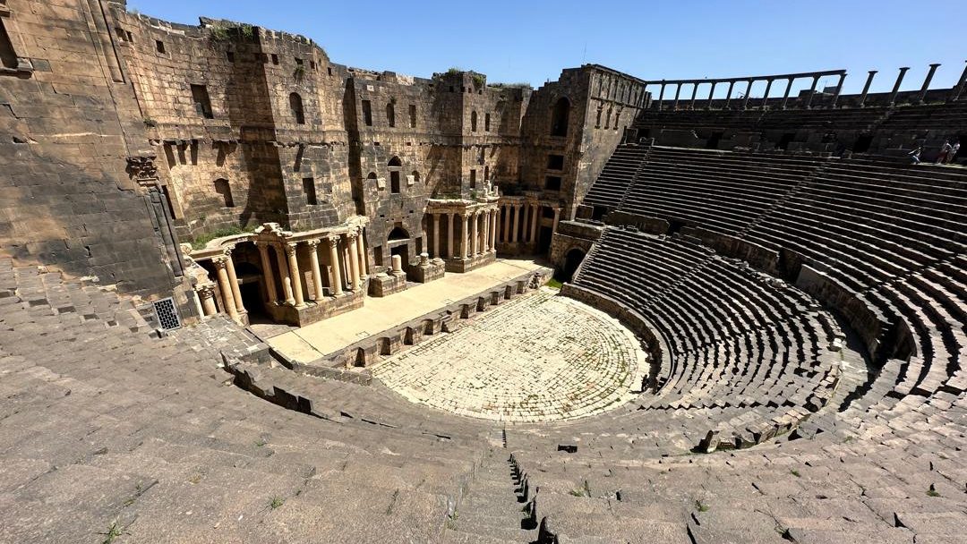 Ancient citiesBosra’s Black Basalt CityA Roman theatre and an ancient city with a different character.Read the story →
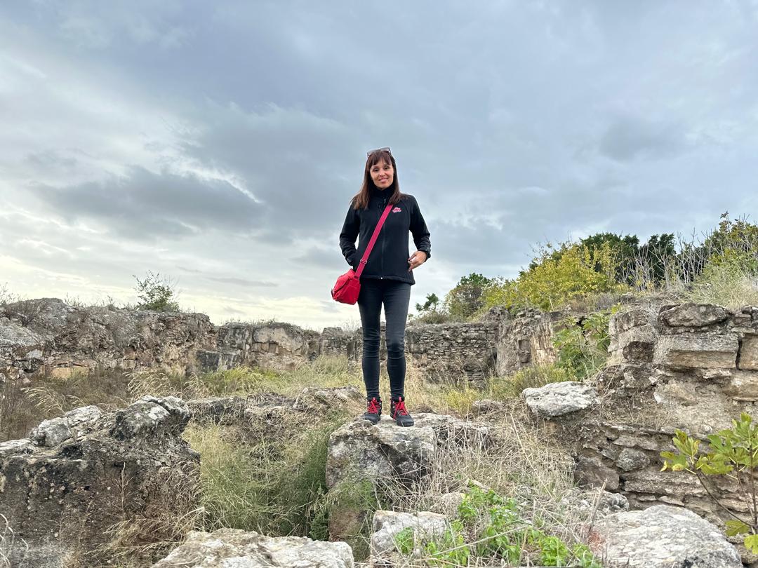 Bronze Age SyriaUgarit’s Ancient KingdomThe ruins of a Bronze Age city that changed how we study writing.Read the story →
 Roman SyriaPalmyra’s Desert StoryTravel back to another great commercial city of antiquity.Read the story →
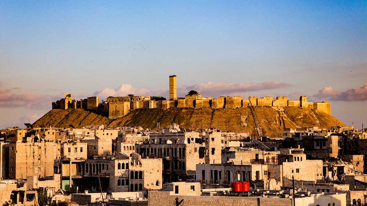 Medieval heritageAleppo CitadelLearn how a historic hilltop fortress shaped its city.Read the story →